MASTERPROEF ONDERWERPEN FYSISCHE GEOGRAFIE · masterproef onderwerpen fysische geografie promotor:...
25
Transcript of MASTERPROEF ONDERWERPEN FYSISCHE GEOGRAFIE · masterproef onderwerpen fysische geografie promotor:...
MASTERPROEF ONDERWERPEN FYSISCHE GEOGRAFIE Promotor: Dr. Amaury Frankl
VAKGROEP GEOGRAFIE
ONDERZOEKSGROEP FYSISCHE GEOGRAFIE
AJ 2016-2017
FILOSOFIE
Masterproef onderwerpen worden gekoppeld aan lopend
internationaal onderzoek en zijn voornamelijk gebaseerd op
veldwerk en de analyse van zelf verzamelde gegevens
Twee onderzoeksgebieden komen aan bod: Noord-
Frankrijk en Zwitserland
Aangewezen om geen tweede zittijd te hebben voor het
praktisch uitvoeren van veldwerk tijdens de zomer (must
voor Zwitserland)
3
NOORD FRANKRIJK
4
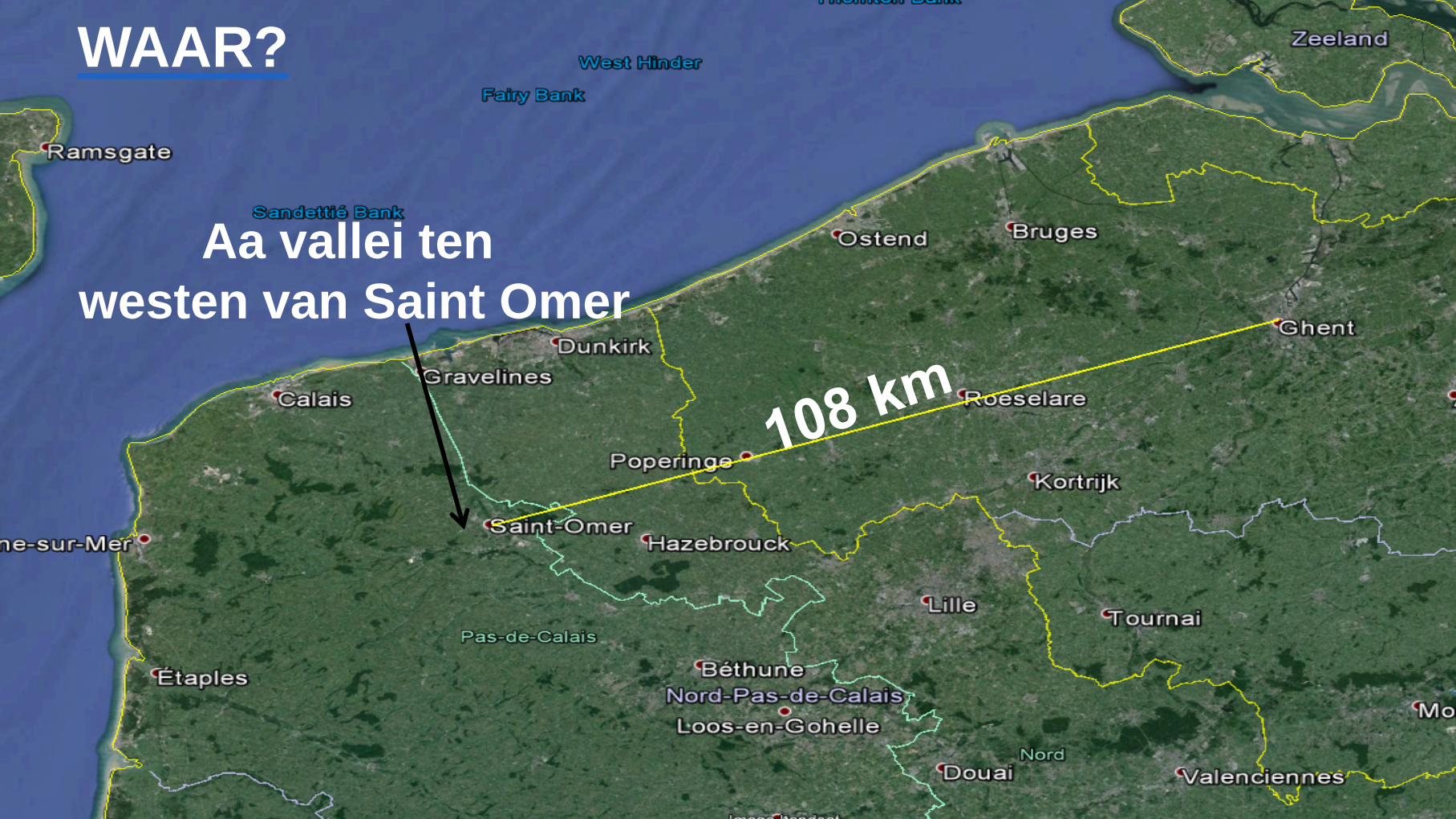
WAAR?
Aa vallei ten
westen van Saint Omer
THESISONDERWERPEN – NOORD-FRANKRIJK
1. Understanding runoff and sediment yield dynamics
from environmental modelling
2. The effect of soil erosion on soil profiles and their
development
3. Hydrological and geomorphological efficiency of
vegetation barriers
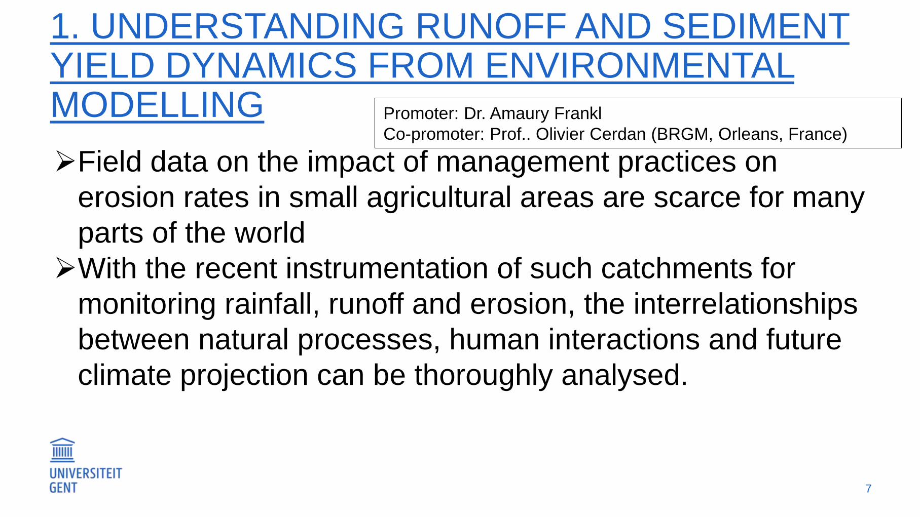
1. UNDERSTANDING RUNOFF AND SEDIMENT YIELD DYNAMICS FROM ENVIRONMENTAL MODELLING
Field data on the impact of management practices on
erosion rates in small agricultural areas are scarce for many
parts of the world
With the recent instrumentation of such catchments for
monitoring rainfall, runoff and erosion, the interrelationships
between natural processes, human interactions and future
climate projection can be thoroughly analysed.
7
Promoter: Dr. Amaury Frankl
Co-promoter: Prof.. Olivier Cerdan (BRGM, Orleans, France)
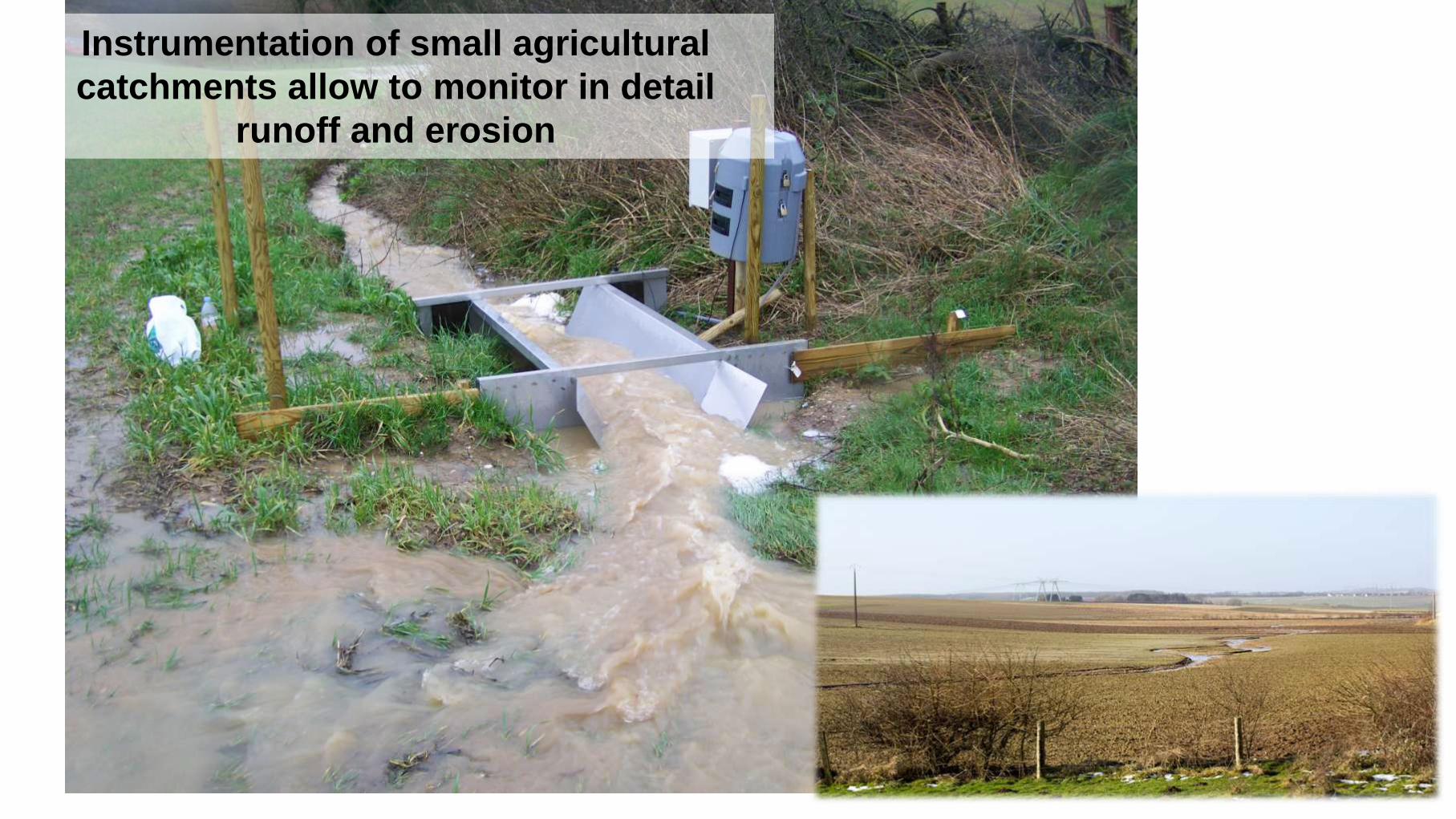
Instrumentation of small agricultural
catchments allow to monitor in detail
runoff and erosion
RESEARCH SETUP
The aim of this research is to understand the effect of agricultural
land management on runoff and erosion dynamics in 20-150 ha
large catchments
The field data will be used to calibrate and validate modelling
approaches (new WATERSED model will be used, BRGM)
Monitoring instrumentation will be handled by the student in the
field and temporal variations on catchment characteristics will be
mapped
The model will be used to assess the impact of possible climate
change scenarios on runoff and sediment yields
9
2. THE EFFECT OF SOIL EROSION ON SOIL PROFILES AND THEIR DEVELOPMENT (FRANCE)
Considerably high soil erosion rates have been reported
for northern France, especially by ephemeral gully
erosion
As a result, valleys are incising and soil is exported out
of agricultural catchments (causing high sediment
concentrations in the Aa river)
Rendosols, Calcisols, Brunisols as dominant soil types
Promoter: Dr. Amaury Frankl
Co-promoter: Dr. Stefaan Dondeyne (KU Leuven)
REEDS INGENOMEN
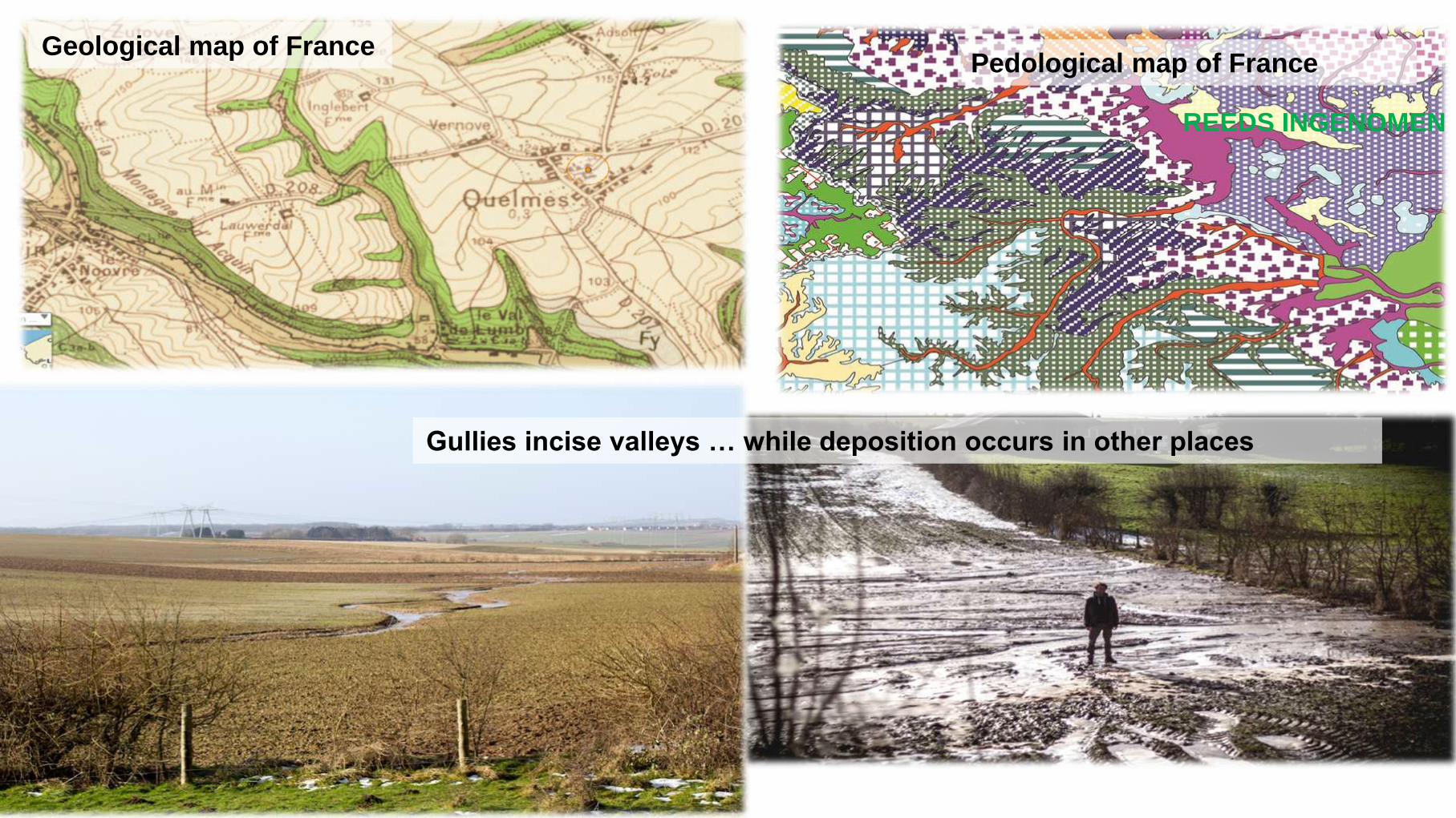
Geological map of France
Gullies incise valleys … while deposition occurs in other places
Pedological map of France
REEDS INGENOMEN
RESEARCH SETUP
The aim of this research is to understand the impact of
farming and decadal soil erosion and deposition on soil
profile development and soil typology
Therefore, a fieldwork based soil map will be produced and
compared to existing soil maps of the 1950s-1970s
The outcome will allow to understand the impact of farming
and soil erosion on soil development in northern France, for
which a case study will be done around Quelmes
REEDS INGENOMEN
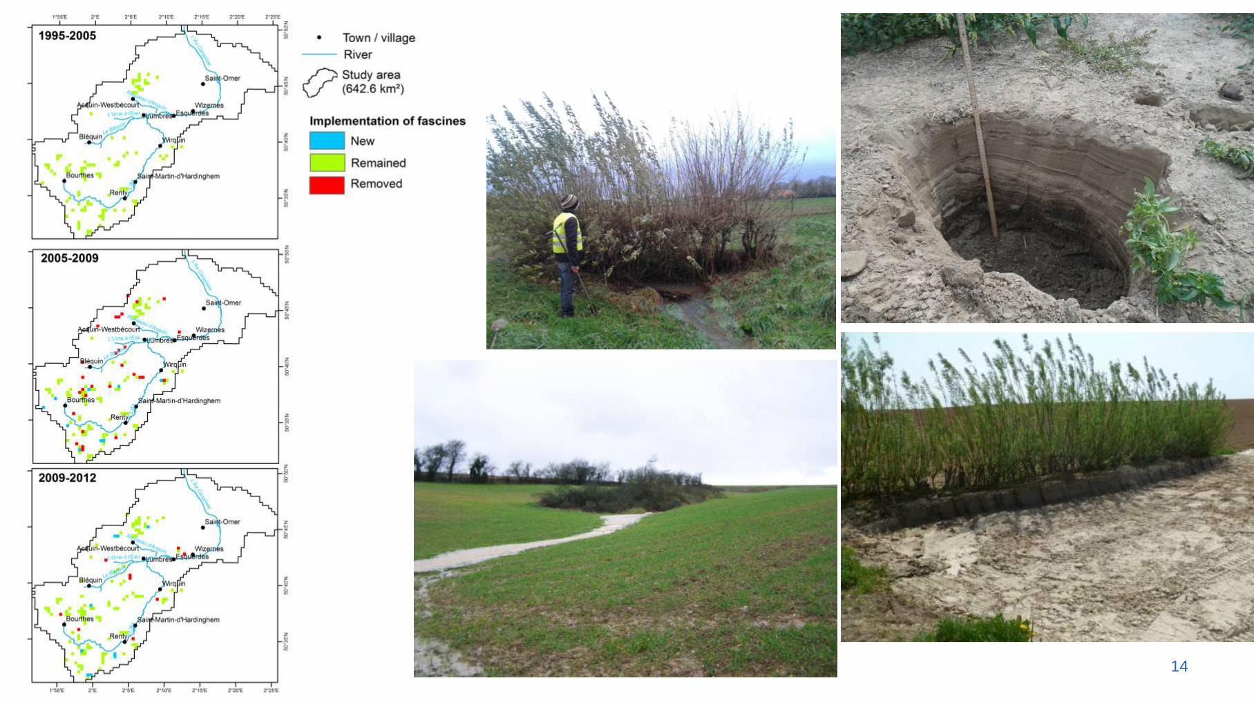
3. HYDROLOGICAL AND GEOMORPHOLOGICAL EFFICIENCY OF VEGETATION BARRIERS (THE CASE OF THE AA VALLEY)
Vegetation barriers (fascines) have been promoted in many
regions to tackle ephemeral gully erosion and decrease
sediment export from agricultural catchments
Experimental work shows promising hydrological functioning
Recent field data do not indicate a strong positive effect of
the fascines on erosion and sedimentation
13
Promoter: Dr. Amaury Frankl
Co-promoter: Prof. Pierre-Gil Salvador (U. Lille I)
14
RESEARCH SETUP
To assess the hydrological efficiency of fascines
To assess the sediment trapping efficiency of fascines
and understand the geomorphological efficiency from
fascine characteristics
To link this to catchments characteristics (land cover,
soil, topography)
To understand the effect of fascines on ephemeral
gully erosion dynamics
15
ZWITSERLAND
16
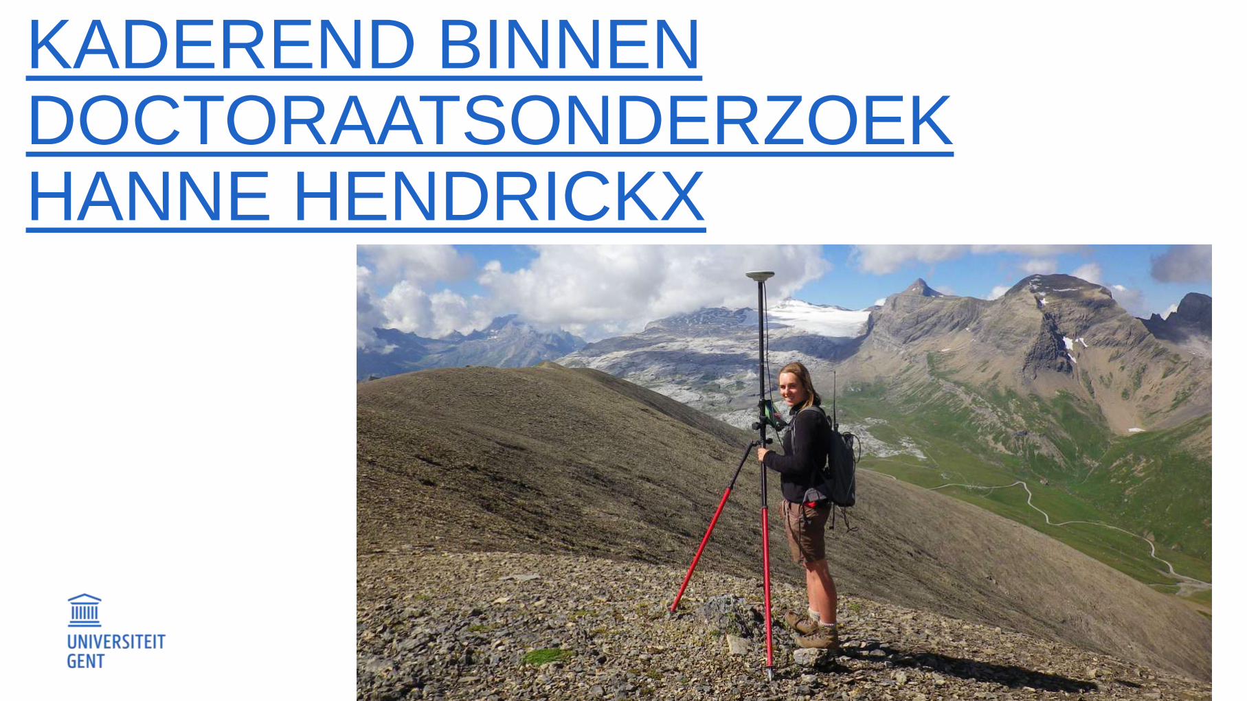
KADEREND BINNEN DOCTORAATSONDERZOEK HANNE HENDRICKX
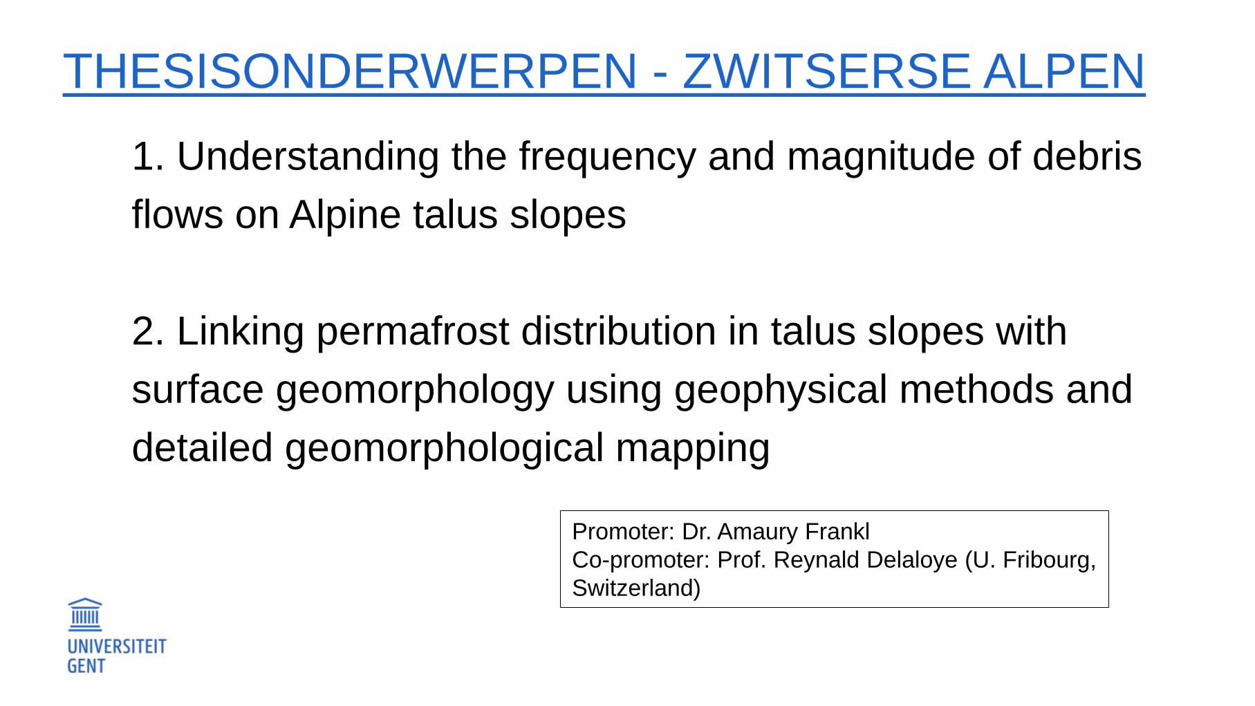
THESISONDERWERPEN - ZWITSERSE ALPEN
1. Understanding the frequency and magnitude of debris
flows on Alpine talus slopes
2. Linking permafrost distribution in talus slopes with
surface geomorphology using geophysical methods and
detailed geomorphological mapping
Promoter: Dr. Amaury Frankl
Co-promoter: Prof. Reynald Delaloye (U. Fribourg,
Switzerland)
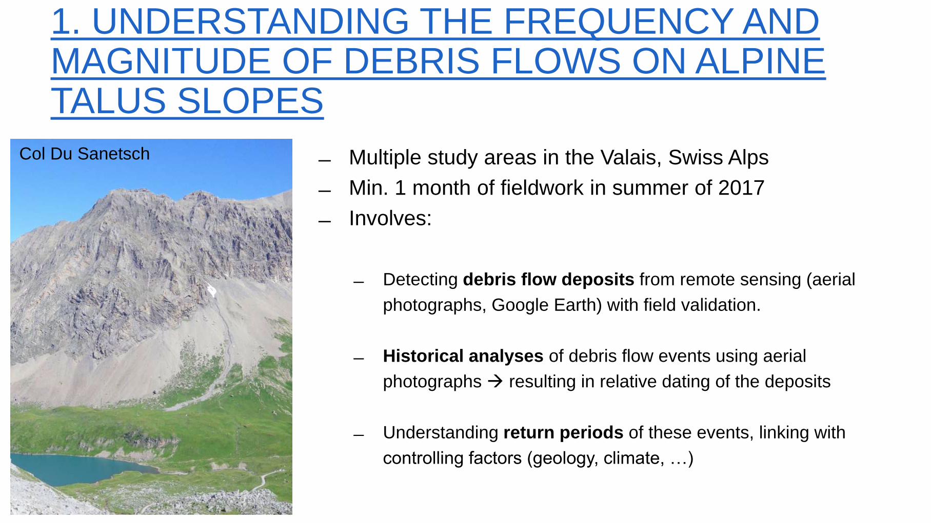
1. UNDERSTANDING THE FREQUENCY AND MAGNITUDE OF DEBRIS FLOWS ON ALPINE TALUS SLOPES
Multiple study areas in the Valais, Swiss Alps
Min. 1 month of fieldwork in summer of 2017
Involves:
Detecting debris flow deposits from remote sensing (aerial
photographs, Google Earth) with field validation.
Historical analyses of debris flow events using aerial
photographs resulting in relative dating of the deposits
Understanding return periods of these events, linking with
controlling factors (geology, climate, …)
Col Du Sanetsch

1. UNDERSTANDING THE FREQUENCY AND MAGNITUDE OF DEBRIS FLOWS ON ALPINE TALUS SLOPES
FIELDWORK
Field validation of the mapped debris
flow deposits from remote sensing
data.
Vegetation dynamics as additional
indicator for geomorphological activity
and age of the deposits
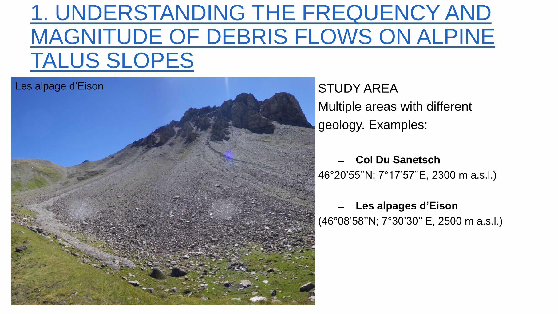
STUDY AREA
Multiple areas with different
geology. Examples:
Col Du Sanetsch
46°20’55’’N; 7°17’57’’E, 2300 m a.s.l.)
Les alpages d’Eison
(46°08’58’’N; 7°30’30’’ E, 2500 m a.s.l.)
Les alpage d’Eison
1. UNDERSTANDING THE FREQUENCY AND MAGNITUDE OF DEBRIS FLOWS ON ALPINE TALUS SLOPES
2. LINKING PERMAFROST DISTRIBUTION IN TALUS SLOPES WITH SURFACE GEOMORPHOLOGY USING GEOPHYSICAL METHODS AND DETAILED GEOMORPHOLOGICAL MAPPING
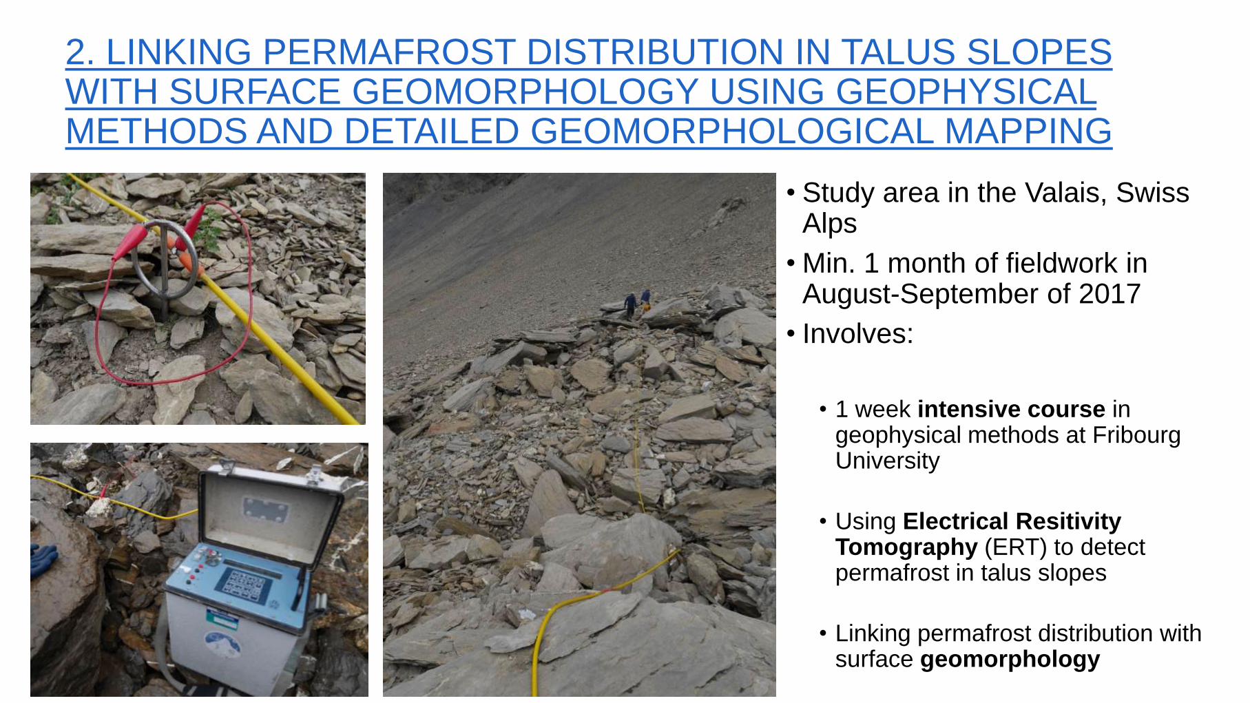
• Study area in the Valais, Swiss Alps
• Min. 1 month of fieldwork in August-September of 2017
• Involves:
• 1 week intensive course in
geophysical methods at Fribourg University
• Using Electrical Resitivity Tomography (ERT) to detect permafrost in talus slopes
• Linking permafrost distribution with surface geomorphology
2. LINKING PERMAFROST DISTRIBUTION IN TALUS SLOPES WITH SURFACE GEOMORPHOLOGY USING GEOPHYSICAL METHODS AND DETAILED GEOMORPHOLOGICAL MAPPING
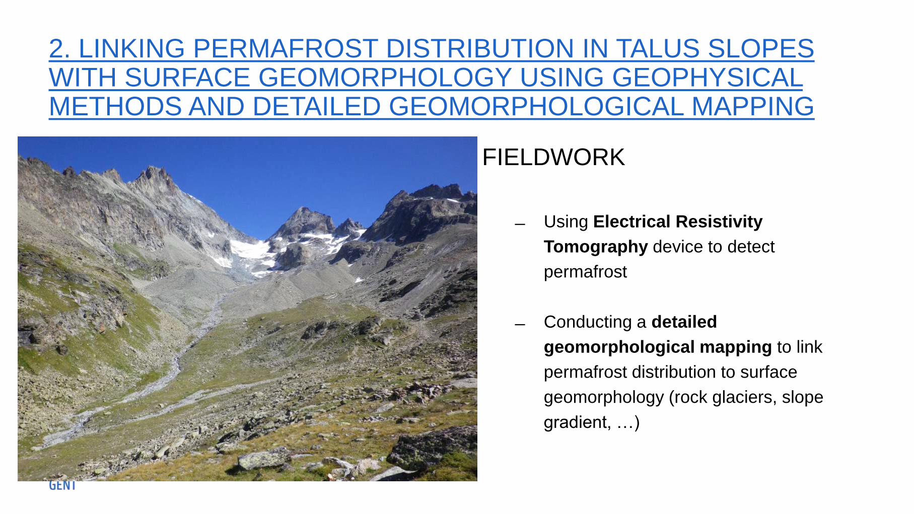
FIELDWORK
Using Electrical Resistivity
Tomography device to detect
permafrost
Conducting a detailed
geomorphological mapping to link
permafrost distribution to surface
geomorphology (rock glaciers, slope
gradient, …)

2. LINKING PERMAFROST DISTRIBUTION IN TALUS SLOPES WITH SURFACE GEOMORPHOLOGY USING GEOPHYSICAL METHODS AND DETAILED GEOMORPHOLOGICAL MAPPING
STUDY AREA
• Col Du Sanetsch
46°20’55’’N; 7°17’57’’E, 2300 m a.s.l.)
Other study areas to be discussed
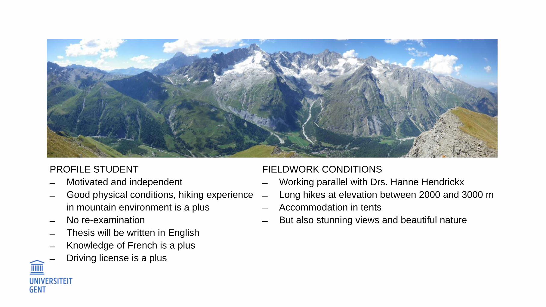
PROFILE STUDENT
Motivated and independent
Good physical conditions, hiking experience
in mountain environment is a plus
No re-examination
Thesis will be written in English
Knowledge of French is a plus
Driving license is a plus
FIELDWORK CONDITIONS
Working parallel with Drs. Hanne Hendrickx
Long hikes at elevation between 2000 and 3000 m
Accommodation in tents
But also stunning views and beautiful nature